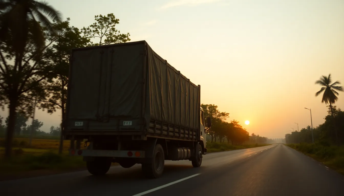
The 2015 proposal
GPS-based logistics — track vehicles for accountability and tracing, and to prevent black-marketing.
Where it stands in 2026
Now commodity infrastructure rather than an aspiration: the AIS-140 GPS mandate puts location tracking in commercial vehicles, FASTag clears the toll plaza without a stop, and the Unified Logistics Interface Platform (ULIP) exposes it all through APIs any application can build on. The deck wanted to see the truck; the country can now see the whole fleet, in real time and programmatically. The missing layer is not location but condition — what is happening to the produce inside the truck.
The open gap
Cold-chain telemetry adoption is still early.
How to sustain & deepen it
Make cold-chain telemetry standard, not optional: temperature and humidity alongside location on ULIP for every perishable consignment, so the data closes the post-harvest-loss loop instead of merely tracking the vehicle. Tie that telemetry to the warehouse receipt and insurance record so a breach in the cold chain is detected, attributed and compensated automatically. Open the ULIP feeds to FPOs and small transporters, not just large logistics firms, so the smallest load is as visible as the largest. Tracking the truck was step one; protecting the cargo is the step that saves the harvest.
Where it sits in the chain
See the full map →Depends on
Enables
Sources
- ↗ Food Supply Chain: A Framework for the Governance of Digital Traceability — Logistics (MDPI, open access via PMC), 2025
- ↗ Digital Traceability in Agri-Food Supply Chains: A Comparative Analysis of OECD Member Countries — Foods (MDPI, open access via PMC), 2024
- ↓ Trends in Diversion of PDS Grain (CDE Working Paper No. 198) — Centre for Development Economics, Delhi School of Economics, 2011
- ↓ Cold Chains in Developing Economies: A Techno-Socio-Economic Structural Development Challenge — World Bank, 2021