The 2015 proposal
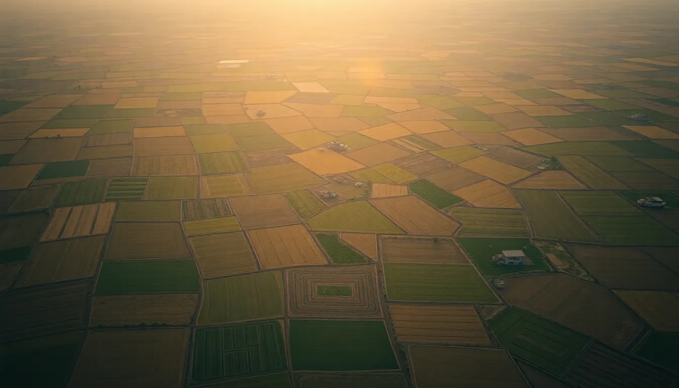
Divide the country into agri zones by dominant crop, so advice, inputs and planning fit local soil, water and climate.
From the original 2015 deck
Where it stands in 2026
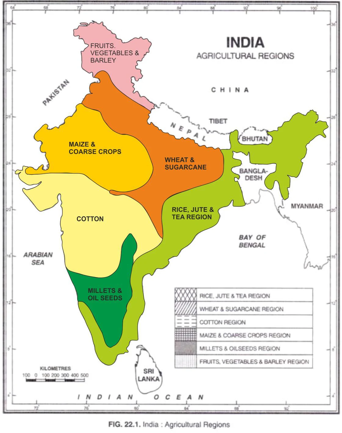
India has not one zonation but three overlapping ones: the Planning Commission-era 15 agro-climatic zones, ICAR-NARP’s 127 agro-climatic sub-zones, and NBSS&LUP’s 20 agro-ecological regions refined on soil, rainfall and growing-period data. What was missing for sixty years was resolution: a zone the size of a district cannot tell one farmer’s field from the next. The Digital Agriculture Mission is now closing that gap from below, building 1:10,000 soil-profile maps (about 142 million hectares planned, roughly 29 million mapped so far) and a geo-referenced crop-sown registry through the seasonal Digital Crop Survey. For the first time the macro zone and the individual parcel can be joined.
The open gap
The zones and soil maps exist; the per-parcel advisory layer that turns them into a sowing call for one farmer’s field does not — yet.
The path to close it
The zones and the soil maps already exist; the missing layer is turning a static map into living, per-parcel advice. Fuse the 1:10,000 soil grid and the 127 sub-zones into the Farmer Cockpit so every farmer gets a sowing-window, crop-suitability and variety call for their exact field — not a district average. The Microsoft–ICRISAT AI Sowing App showed the payoff is real and cheap: a single well-timed SMS lifted groundnut yields 10–30% with no new hardware in the farmer’s hands. Three tasks finish it — complete the soil mapping (about 29 of 142 million hectares done), refresh advisories each season against the live forecast rather than a long-run average, and expose the whole zone-and-soil layer as an open API any advisory app, public or private, can read. Then the zonation stops being an atlas and becomes an instruction.
Specifications — what “built” requires
Illustrative — a proposed specification and sequence, not an official government roadmap.
Acceptance criteria
- Every operational holding is mapped to its agro-climatic sub-zone and its 1:10,000 soil-profile grid cell.
- Each zone carries a current, season-specific sowing-window and crop-suitability advisory, refreshed against the live forecast.
- Soil mapping is complete nationwide (the full ~142 m ha, not ~29).
- Zone, soil and weather data are exposed as one open API any advisory app can read.
- A farmer can pull a per-parcel sowing and variety recommendation for their exact field, in their language.
Technical spec
- Zonation
- ICAR-NARP 127 sub-zones × NBSS&LUP AER, joined to the 1:10,000 soil grid
- Resolution
- per-parcel (land-record survey number), not district average
- Inputs
- IMD/forecast feed + Soil Health Card readings + crop calendar
- Output
- sowing-window + crop/variety suitability score, per parcel, per season
- API
- open, versioned read endpoint (zone + soil + suitability)
- Refresh
- each season, against the live weather forecast
Roadmap to built — phase 1 → 2 → 3
Illustrative — a proposed specification and sequence, not an official government roadmap.
- 1Phase 1 · Now
Complete the base layer
Finish the 1:10,000 soil mapping and join it to the 127 NARP sub-zones.
A complete per-parcel soil-and-zone base layer.
- 2Phase 2 · 6–12 months
Make it dynamic
Fuse that base layer with the live IMD forecast into a per-parcel sowing-window engine.
Seasonal advisories replace the static atlas.
- 3Phase 3 · 12–24 months
Open it up
Expose zone + soil + suitability as an open API and deliver per-parcel calls in-language through the Cockpit.
Any advisory app can serve any farmer — built.
Where it sits in the chain
See the full map →Sources
- ↗ Dept. of Agriculture & Farmers' Welfare (schemes & Digital Agriculture Mission) — Govt. of India
- ↗ Soil Health Card scheme — Dept. of Agriculture & Farmers' Welfare
- ↗ Global Agro-Ecological Zones (GAEZ v4) Data Portal — FAO & IIASA, 2021
- ↗ Global Agro-ecological Zoning (AEZ): a handbook on concepts, terminology and procedures — FAO Land & Water Division, 2018
- ↓ Agro-Climatic Regional Planning: India's 15 Agro-Climatic Zones — NITI Aayog / Planning Commission of India, 1989
- ↗ An integrated approach to land suitability for agro-ecological zoning based on fuzzy inference system and GIS — Environment, Development and Sustainability (Springer), 2022
- ↗ Microsoft & ICRISAT's intelligent cloud pilot for agriculture in Andhra Pradesh (AI Sowing App) — Microsoft News India, 2017